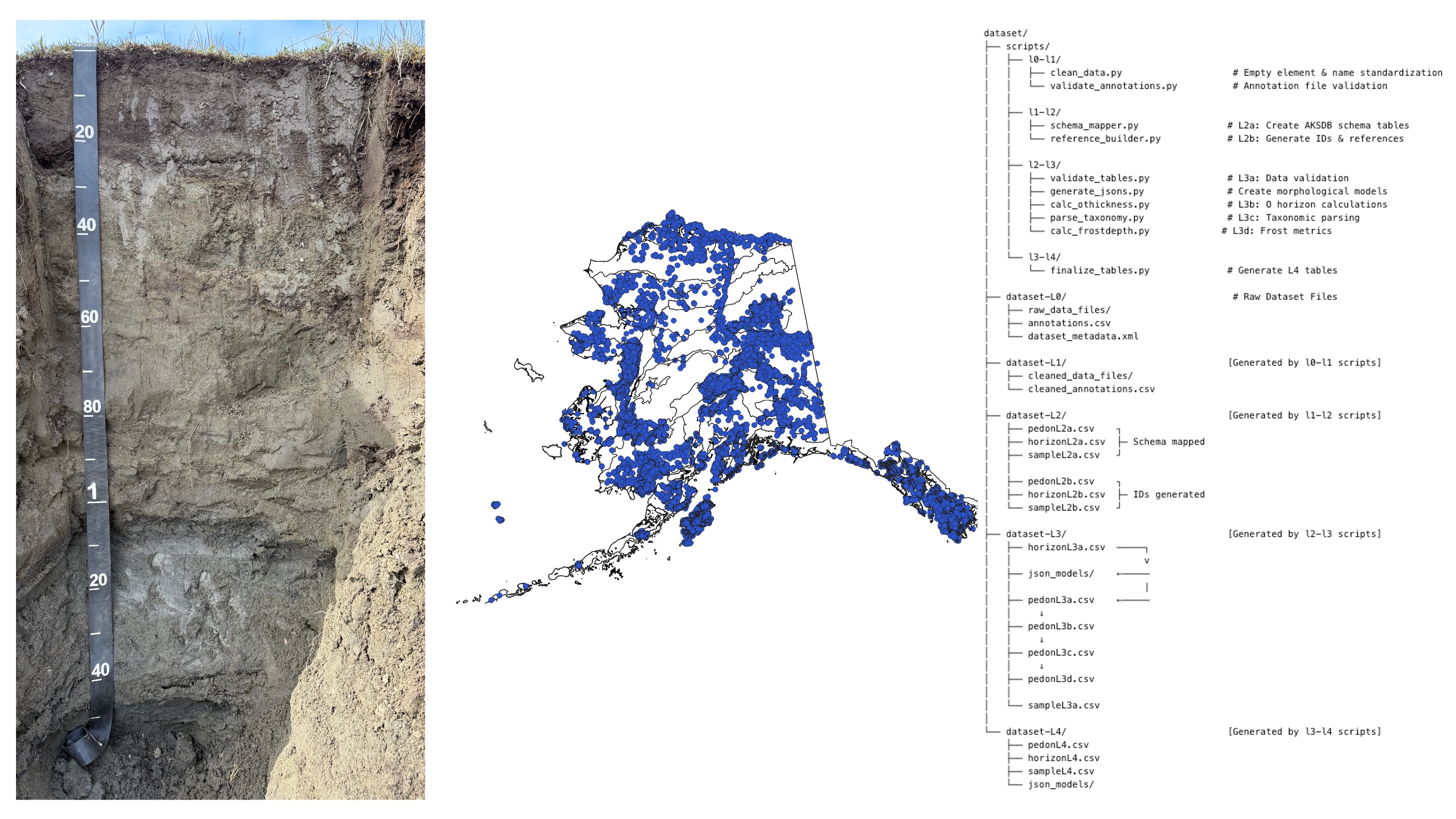
Alaska Soil Databank
Alaska soil information, mapping, and data resources.
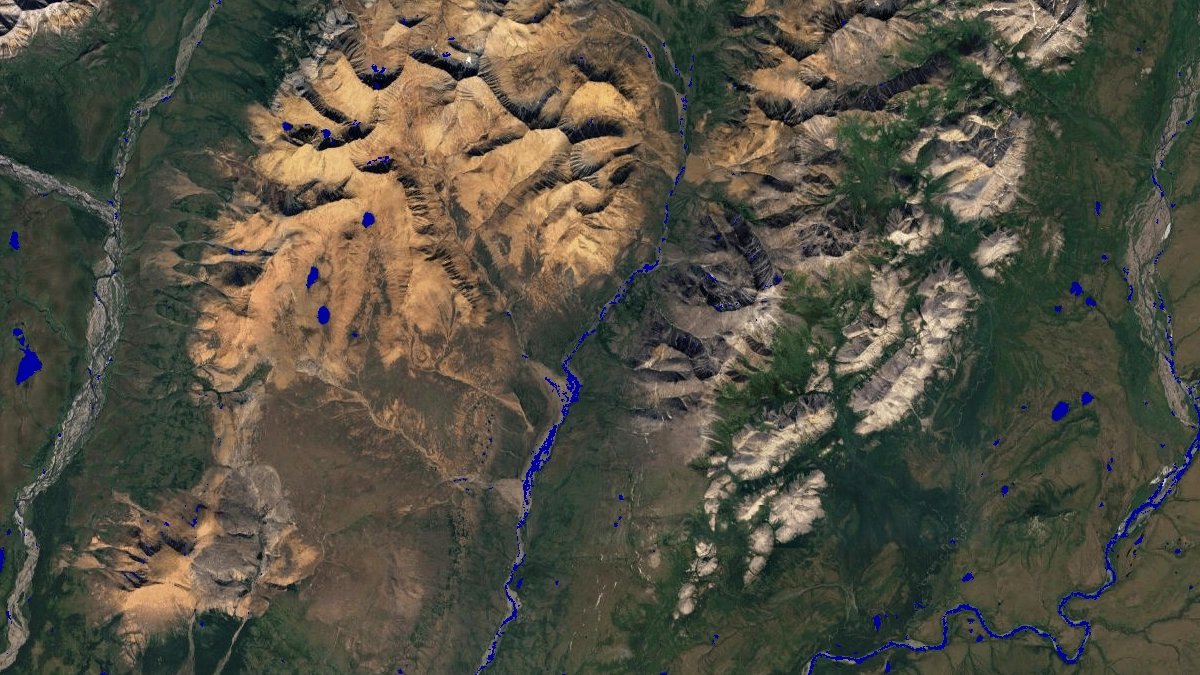
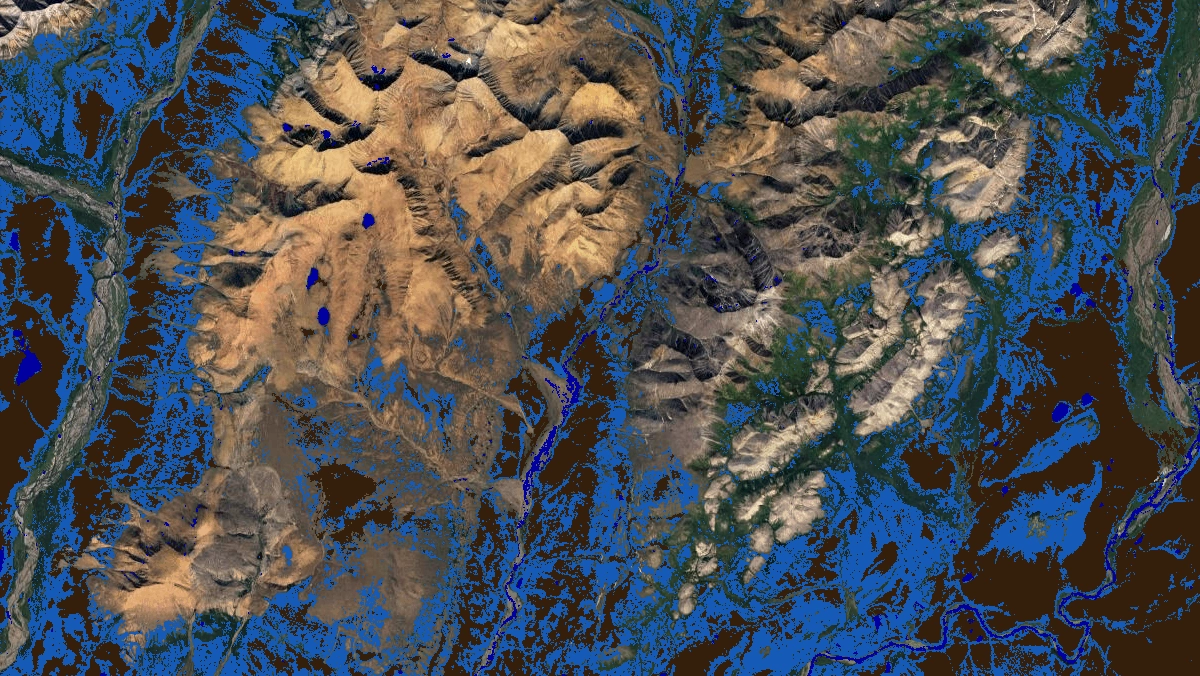 Mapped productsSatellite imagery
The Alaska Soil Databank (AKSDB) is a suite of tabular and geospatial data products that provide detailed ecological information on soil and near-surface permafrost characteristics in Alaska and adjacent Canada at high spatial resolution. We designed the AKSDB with the following features in mind:
- Repeatable and scalable scripted development process to incorporate new field and remotely sensed data with a regular update cycle.
- Remain flexible to variety of end user applications, including continuous maps for quantitative statistical analyses and categorical maps for visual interpretation and study stratification.
The Alaska Soil Databank is organized as a connected system of soil observations, standards, harmonized databases, and geospatial products. Together, these components support the development, documentation, and delivery of soil information for Alaska. There are two major components to the Alaska Soil Databank project:
- AKSDB Map
- AKSDB Database
The AKSDB is developed by a multi-organization collaborative team coordinated through the Alaska Soil Data Bank Working Group. To become involved in AKSDB please contact Nic Jelinski (University of Minnesota) or Matt Macander (ABR, Inc.) for more information.
AKSDB Map
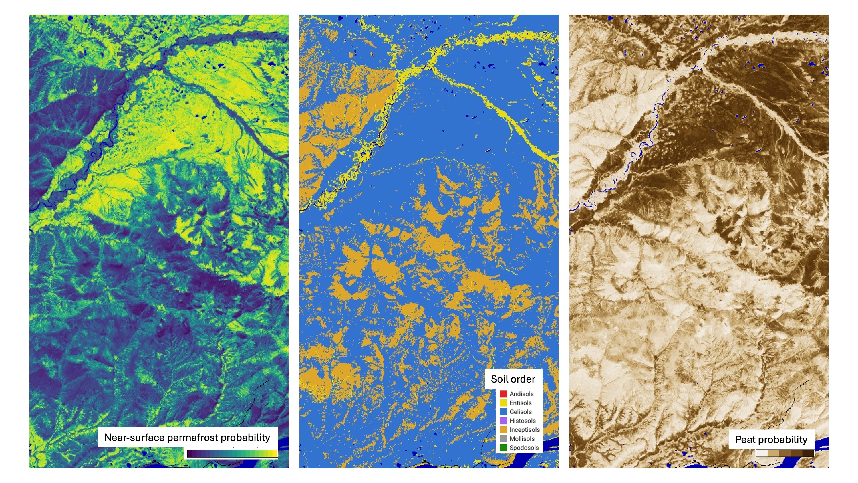
The AKSDB Map is a stack of digital soil map products for Alaska and adjacent Canada that consists of continuous soil and near-surface permafrost site characteristic maps (a), depth-resolved predictions of soil and near-surface permafrost physical and chemical properties (b), and soil class maps (c).
AKSDB Database
The AKSDB Database component brings together tabular observations and related metadata from multiple sources. These records can support standardized data access, interpretation, mapping, and the continued development of statewide soil information products.